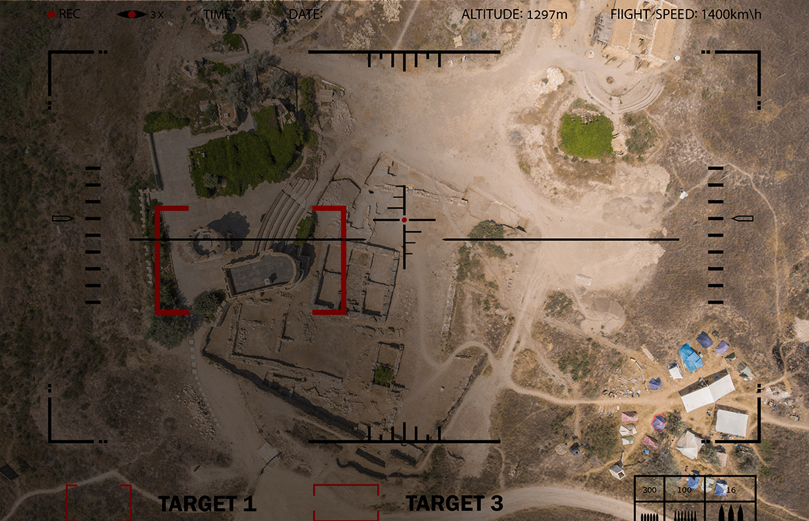
The next generation of the Kestrel wide-area motion imagery (WAMI) system, the Kestrel Block II — like its battlefield-proven predecessor — can detect and track multiple vehicles and dismounts moving over a city-sized area, 24 hours a day, for weeks at a time. The Block II is nearly half that weight of the original Kestrel, allowing it to be mounted on a wider range of aerostats. In addition, Kestrel Block II is exportable to international customers.
Kestrel WAMI sensors are rugged and easy to maintain, and since the first system deployed with U.S. forces in Afghanistan back in 2011, Kestrel systems have clocked more than 200,000 operational hours, protecting troops in and around forward operating bases.
Customers for the Kestrel Block II WAMI system include both domestic and international government and commercial entities.
18 in L x 18 in W x 27 in H
(46 cm x 46 cm x 69 cm)
16 – 27 u standard rack depth
< 85 lbs (40 kg)
350 lbs (159 kg)
300 W
~ 2.5 kW
28 VDC
113 sq km at 3,000 ft (1,000 m) AGL
360 degrees
Yes
8 cameras composing a 440 Mpx
day/night mosaic
< 1 pixel
Yes
EO - 35 cm at 3 km / 60 cm at 5 km
at 3,000 ft (1,000 m) AGL
IR - 50 cm at 3 km / 90 cm at 5 km
at 3,000 ft (1,000 m) AGL
EO - monochrome, IR - MWIR/LWIR
Up to 3 with option for expansion
1,000 – 5,000 ft (300 – 1,500 m) AGL
Yes
Yes
~ 50 m geolocation capability
1 Hz
3 days, expandable to 30 days
~ 50 m geolocation capability

Infrared, platform-agnostic wide-area motion imagery system

Powerful day/night wide-area motion imagery in a small Group 3 UAS
Lightweight, day/night aerostat-mounted wide-area motion imagery system

Wide-Area Motion Imagery System for Tethered UAS

High-volume, real-time sensor data processing

Platform-Flexible, High Performance Multi-Sensor System in a Compact Pod

Lightweight, platform-agnostic wide-area motion imagery system

Powerful wide-area motion imagery in a small Group 3 UAS

Dual-Sensor System to Detect and Locate Sources of Enemy Fire