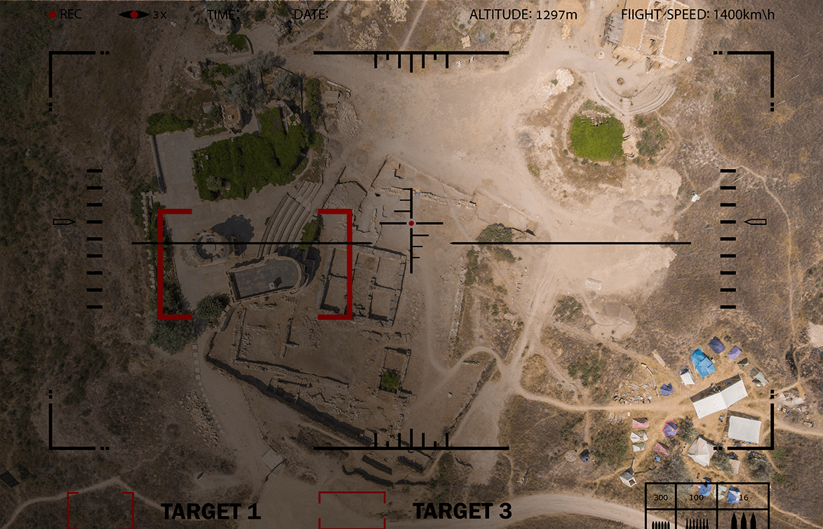
Serenity is an advanced hostile fire detection (HFD) system that combines electro-optical (EO) and acoustic sensors to pinpoint the origin of heavy weapons and explosive detonations up to 10 kilometers away in any direction. This enables a response force to quickly identify,
rapidly react, and potentially deter enemy attacks.
Serenity can be employed as standalone system on both masts and aerostats (and, potentially, manned and unmanned aircraft as well). On an aerostat, it can also be coupled with a wide-area motion imagery (WAMI) system, providing operators with additional near real-time and archived imagery.
The Serenity system is an affordable fire detection system adaptable to a variety of uses and ready for deployment to prevent attacks from becoming full-scale assaults.
Customers for the Serenity dual-sensor hostile fire detection system include both domestic and international government entities.
Two optical pods for 360-degree coverage
Each optical pod - 20 in L x 14.5 in W x 7 in H (51 cm x 37 cm x 18 cm)
Acoustic subsystem - 28 in L x 24 in W x 24 in H (71 cm x 61 cm x 61 cm)
< 200 W
77 lbs (35 kg)
Detections up to 10 km with high geolocation accuracy and very low false alarm rates
Designed for propellant and warhead flash chemistry detection
In combination with Kestrel or MX systems, provides force protection by accurately detecting and locating hostile fire threats in surrounding areas

Infrared, platform-agnostic wide-area motion imagery system

Powerful day/night wide-area motion imagery in a small Group 3 UAS
Lightweight, day/night aerostat-mounted wide-area motion imagery system

Wide-Area Motion Imagery System for Tethered UAS

High-volume, real-time sensor data processing

Platform-Flexible, High Performance Multi-Sensor System in a Compact Pod

Lightweight, platform-agnostic wide-area motion imagery system

Powerful wide-area motion imagery in a small Group 3 UAS

Dual-Sensor System to Detect and Locate Sources of Enemy Fire